
Why "wettest place" has more than one right answer
The World Meteorological Organization keeps an official table of weather and climate extremes, and buried inside it is the reason no single village can claim the title "wettest place on Earth" outright. The table splits rainfall into two kinds of record that don't compare to each other. One kind covers single, extraordinary events: the most rain in 24 hours, in 48 hours, in one calendar year. The other kind covers sustained averages measured over decades, and it isn't tracked as one global ranking at all. Instead, WMO breaks the average-annual category into six separate regional records, one for each of its geopolitical regions, so Africa, Asia, South America, North America, the Southwest Pacific, and Europe each have their own champion.
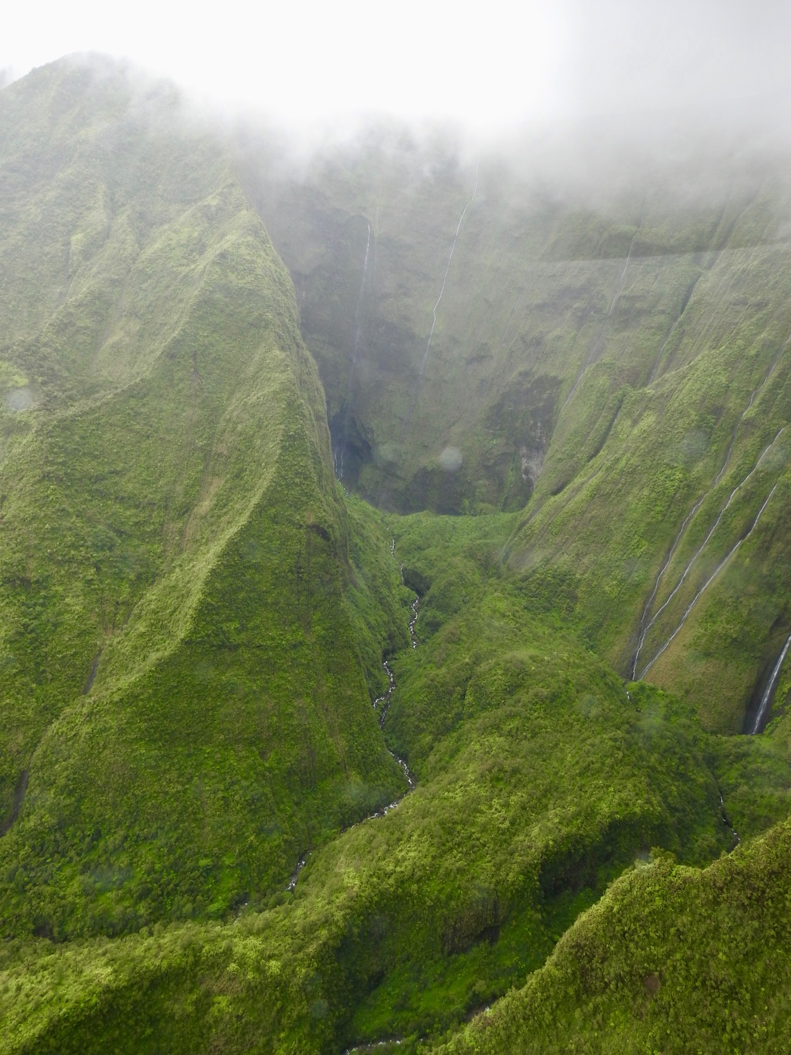
Mawsynram, a village in India's Meghalaya state, holds the regional title for Asia: an average annual rainfall of 11.872 meters (467.4 inches), measured across 38 years of records. That figure happens to be the highest of the six regional totals, which is why English-language sources default to calling Mawsynram "the" wettest place on Earth. But the next-highest regional total isn't far behind. Mt. Waialeale, on the Hawaiian island of Kauai, holds the Southwest Pacific region's average-annual record at 11.64 meters (460.0 inches) over 30 years, a gap of well under a foot from Mawsynram's figure after 38 and 30 years of measurement, respectively. Africa's champion, Debundscha in Cameroon, averages 10.287 meters (405.0 inches) over 32 years. South America's official WMO record belongs to Quibdó, Colombia, at a considerably lower 8.99 meters (354.0 inches) over 29 years. North America's is Henderson Lake, British Columbia, at 7 meters (276 inches), measured across a broken 15-year stretch spanning 1923 to 1935 and 1998 to 2000. Europe's is Crkvice, Montenegro, at just 4.593 meters (180.8 inches), less than half of Mawsynram's total. Angel Falls carries its own split-title problem, a total height record and a separate record for its longest uninterrupted plunge, which distinguish the full cascade from its main drop. The rainfall records likewise require the stated averaging period and geographical category. The dry end of the same climate spectrum runs into an almost identical trap: the Sahara is the largest hot desert, while the Antarctic and Arctic deserts are larger when polar regions are included, a distinction between hot-desert and all-desert rankings, rather than rival measurements of one place.
Sohra's 1861 record, and a rain-soaked town that runs short on water
Fifteen kilometers from Mawsynram sits Cherrapunji, known locally as Sohra before 19th-century British administrators mispronounced the name and it stuck. Sohra doesn't hold WMO's average-annual title, but it holds two records Mawsynram doesn't: the greatest total rainfall ever measured anywhere in a single 12-month period, and the greatest rainfall ever measured anywhere in 48 hours. The 12-month record was set between August 1860 and July 1861, when a rain gauge installed under British colonial administration recorded 26.47 meters (1,042 inches) of rain, including 9.3 meters (366 inches) in July 1861 alone, roughly a third of the entire year's total falling in a single month. That total has stood, unbroken, for more than 165 years, tracked by what is now one of the oldest continuously operated weather stations in Asia.
Sohra's other WMO record is more recent: 2.493 meters (98.15 inches) of rain in 48 hours, recorded on June 15-16, 1995, still the highest 48-hour total WMO has confirmed anywhere on Earth. Neither record can be independently re-measured. A 12-month total from 1861 is a historical event, not a repeatable experiment, and the instruments and calibration standards used to record it predate every modern rain gauge by more than a century. What can be checked is the paradox the town lives with today: despite receiving more rain than almost anywhere on the planet, Sohra faces chronic water shortages, because the same steep, deforested terrain that channels monsoon air upward also washes away topsoil and drains rainfall off the hillsides faster than the ground can hold it, leaving residents to walk long distances for drinking water during the dry months.

Even fifteen kilometers apart, the two villages don't agree
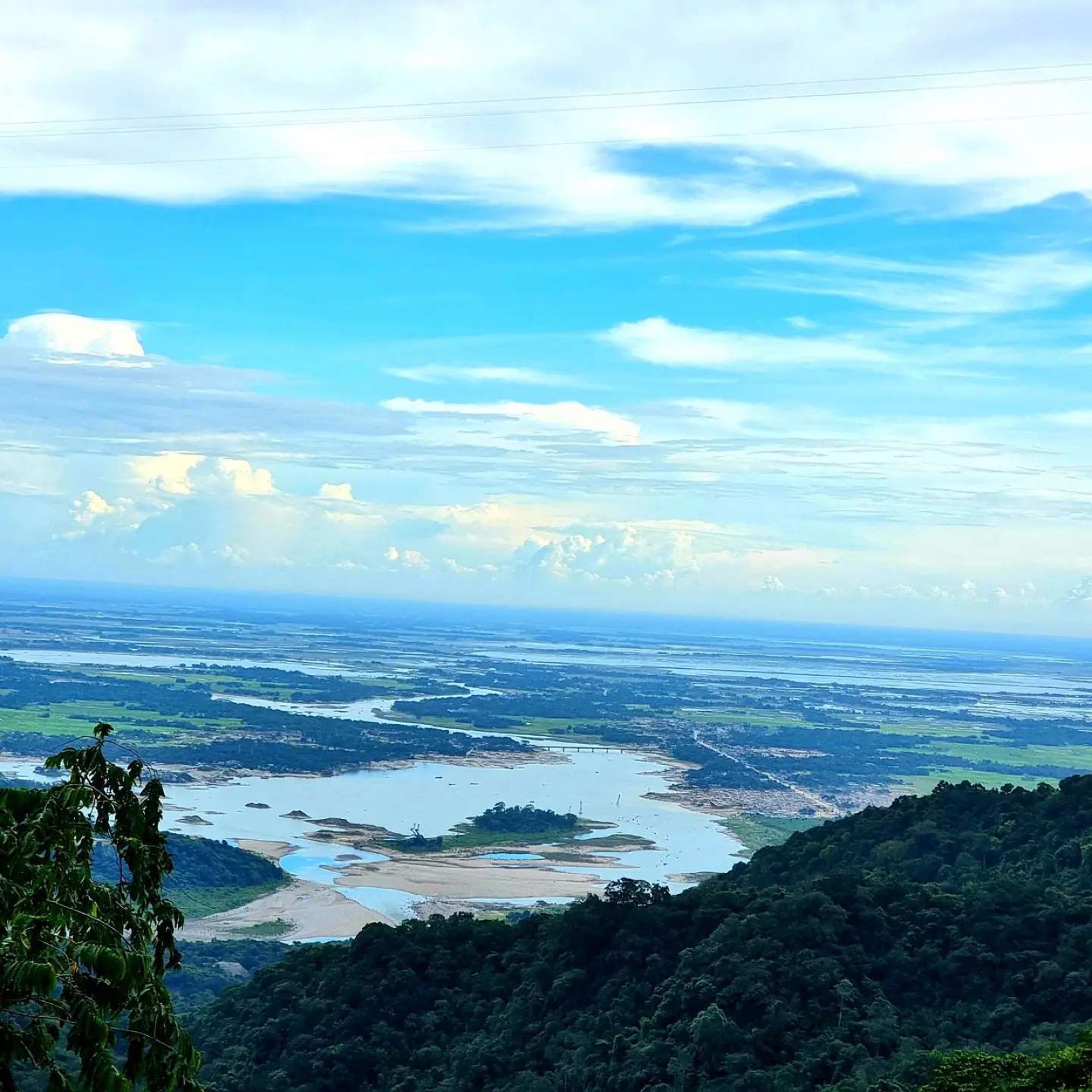
Mawsynram and Sohra sit on the same geological feature, the southern rim of the Khasi Hills plateau, where the terrain drops away toward the flat plains of Bangladesh and the Bay of Bengal beyond. A mechanism described in geographer Nick Middleton's 2012 book Going to Extremes, and reproduced in Mawsynram's reference material, credits three separate effects for concentrating the region's rainfall. Monsoon air moving north off the Bay of Bengal, spread across a wide front over the plains, gets squeezed into the narrower zone above the Khasi Hills, concentrating its moisture. The hills themselves run east to west, directly perpendicular to that airflow, forcing the air sharply upward and cooling it fast enough to condense. And because upper-atmosphere winds keep pulling the lifted air upward throughout the monsoon season, the uplift, and the rain, stays close to continuous rather than tapering off between storms.
That mechanism explains why the region as a whole is so wet, but it doesn't fully settle why Mawsynram, sitting further from the plain than Sohra, out-rains its neighbor at all. India's meteorological data complicates the comparison further: over recent decades, Sohra's rainfall has trended slightly downward while Mawsynram's has ticked up, and Sohra's station, with a continuous record dating back to the 1850s, is generally treated as the more reliable of the two, since Mawsynram's measurements were recorded only sporadically until relatively recently. Which village currently holds the higher average depends partly on which years get counted and how consistently each station recorded them, not solely on the physical geography. The same limestone slopes hold Mawjymbuin Cave, a short drive from Mawsynram, where centuries of mineral-laden runoff have built a cluster of stalagmites shaped like a Shivling that Khasi and Hindu visitors alike treat as a natural shrine; the same slow, layer-by-layer calcite buildup lets researchers elsewhere reconstruct entire cave climate records, dated precisely using uranium-thorium decay rather than a rain gauge.
Hawaii and Colombia have their own claims, and they don't agree either
Outside India, two other places get called "the wettest place on Earth" regularly, and neither claim lines up cleanly with WMO's table. Mt. Waialeale's summit, a nearly inaccessible, permanently boggy caldera rim on Kauai with no year-round population, is WMO's official Southwest Pacific regional champion, and it's the answer most American tourism sites and travel writers give, since it's the wettest spot most of their audience could plausibly visit. WMO's figures put it second to Mawsynram, not first, a distinction that rarely survives the trip from research table to travel blog.
Colombia's claims are messier still. Two different Wikipedia pages cite two villages, Lloró and López de Micay, as having recorded higher long-term averages than Mawsynram, but the pages don't even agree with each other. One lists López de Micay at 12,892 millimeters per year over 1960 to 2012, while the other lists the same village at 13,466 millimeters over 1980 to 2011. Neither figure appears in WMO's regional table, which instead credits a different Colombian town, Quibdó, with South America's formally recognized average-annual record, a considerably lower 8.99 meters. A similar gap between the number that gets repeated and the number that traces back to verified source data shows up in the study of the Maya Long Count calendar, where a widely cited "earliest date" carries an asterisk its popularizers routinely leave off, and the Colombian rainfall claims run into the same problem: repeated often enough by secondary sources to sound settled, without ever passing through the formal evaluation that put Mawsynram, Sohra, and Quibdó into the WMO table.